Positioning

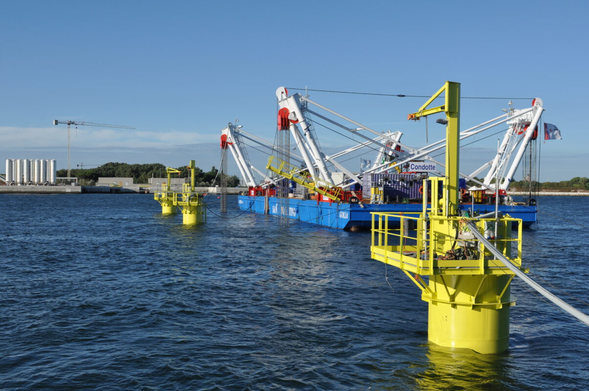
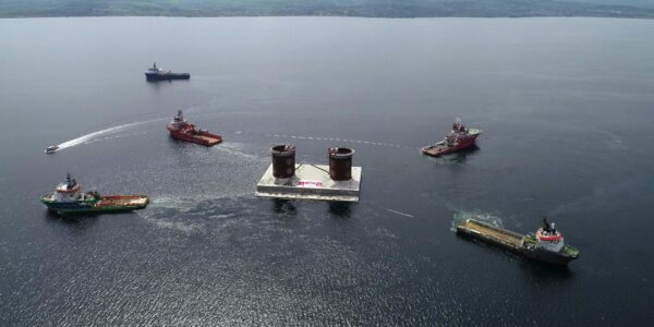
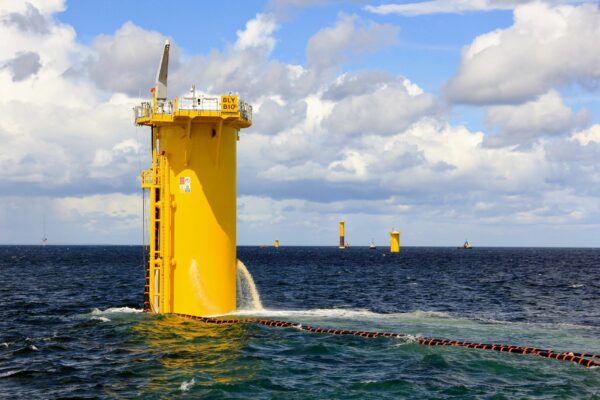
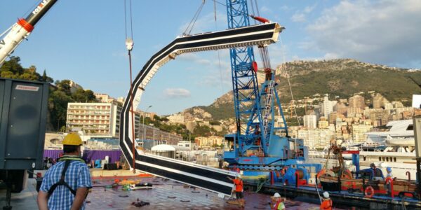
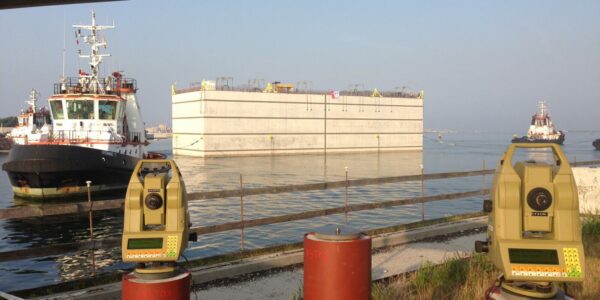
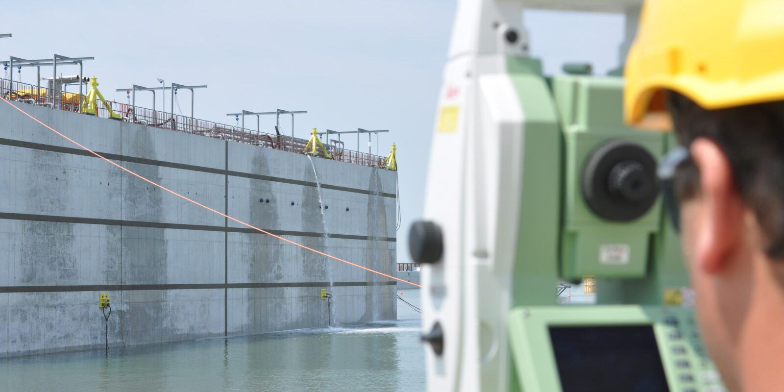
Imemersion and placement operations of caissons, tunnels, or foundations require great precision and reliability.

Get in touch

With extensive knowledge and experience in surveying, positioning, and dimensional control, Immontec is a renowned name worldwide. Immontec specializes in providing positional data during complex positioning operations, particularly during the sinking of structures. Globally, Immontec ranks among the top players in this market.

Supporting a risky underwater placement operation, in our view, entails more than just presenting numbers. Considerations include:

  • Tailored measurement systems for each project.
  • Sinking with or without measurement mast and/or access shaft.
  • Live visualization of all required sinking parameters, such as winch forces, jacking pressures, ballast water levels, position, depth, and camera images.
  • Remote control of pumps and actuators of the ballast system and hydraulic system control using solenoids.
  • During submersion, we monitor flow rates, pressures, and density, and utilize long-term settlement monitoring that remains active until the completion of the rough construction phase.
  • After sinking, monitoring settlements [manually or automatically], jacking pressures, joint measurements, and air quality.

Positioning caisson

Monitoring and positioning of pneumatic caisson

Caisson positioning

Sensors on the sides of tunnel elements

Requirement analysis

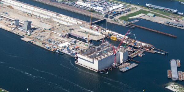
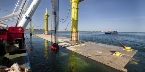
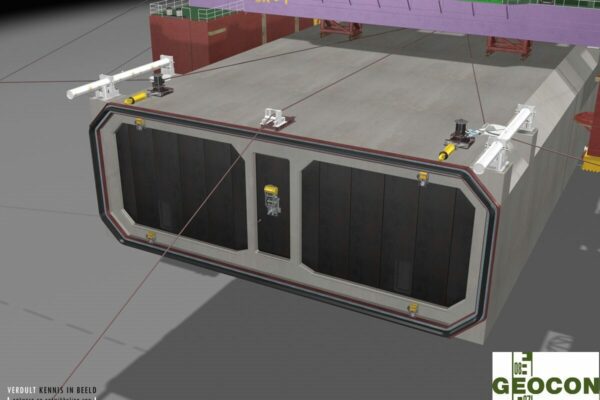
The foundation must be solid. To achieve high accuracy in positioning the tunnel elements, the initial assumptions must be correct. In the design and preparation phase, we advise on integrating the necessary facilities for sinking into the tunnel elements or caissons. For positioning, we use (a combination of) our measurement systems. Not only for immersing the tunnel elements but also for placing, for example, the foundation tiles on which the element will rest.

Work with us

Some of the measurement systems to be applied

  • Total Station – optical system using infrared laser and prisms.
  • Global Navigation Satellite System (GNSS) – satellite-based positioning (also known as GPS).
  • Ultra Short Base Line (USBL) – acoustic measurement system for underwater positioning.
  • Fiber Optic Gyro (FOG) – gyroscopic device determining angle relative to true north.
  • Inertial Navigation System (INS) – inertial navigation.
  • Taut wire position system – calculates position based on wire length, vertical, and horizontal angles.
  • Camera systems.
  • Ballast tank levels, leak detection, and control of pumps and valves.
  • Pressure and force from devices such as winches and jacks.
  • Angle or tilt sensors for determining pitch and roll.
  • Joint measurement during and after immersion: measuring the distance between the faces of the elements.
Contact us now

Latest immersion tunnel projects